
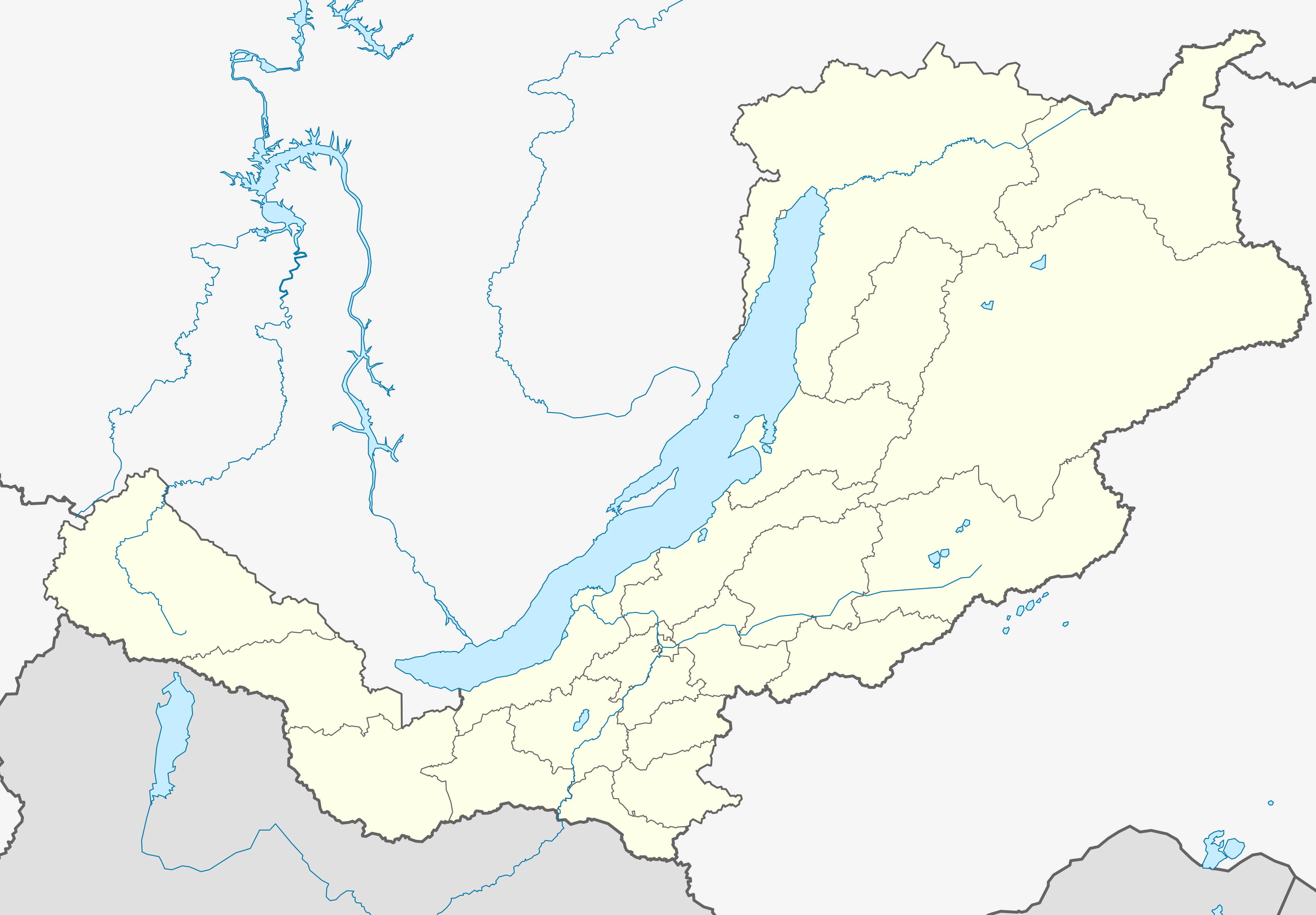
Fayl:Outline Map of Buryatia.svg

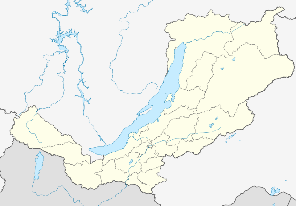
Size of this PNG preview of this SVG file: 800 × 556 piksel. Boshqa oʻlchamlari: 2 560 × 1 779 piksel.
Asl fayl (SVG fayl, asl oʻlchamlari 1 361 × 946 piksel, fayl hajmi: 153 KB)
Qisqa izoh
| Taʼrif |
Русский: Позиционная карта Бурятии Равноугольная проекция, растяжение — 165%. Координаты краёв:
|
| Sanasi | |
| Manba | Oʻzimning ishim Схема территориального планирования Бурятии |
| Muallif | Виктор В |
| Other versions |
Derivative works of this file: Outline Map of Buryatia (with position on the Map of Russia).svg
[] |



Litsenziyalash

|
I, the copyright holder of this work, release this work into the public domain. This applies worldwide. In some countries this may not be legally possible; if so: I grant anyone the right to use this work for any purpose, without any conditions, unless such conditions are required by law. |
Fayl tarixi
Faylning biror paytdagi holatini koʻrish uchun tegishli sana/vaqtga bosingiz.
| Sana/Vaqt | Miniatura | Oʻlchamlari | Foydalanuvchi | Izoh | |
|---|---|---|---|---|---|
| joriy | 00:07, 2010-yil 14-mart | | 1 361 × 946 (153 KB) | wikimediacommons>Виктор В | == {{int:filedesc}} == {{Information |Description={{ru|1=Позиционная карта Бурятии<br>Равноугольная проекция, растяжение — 165%. Координаты краёв: * север — 57.5° С * юг — |
Fayllarga ishoratlar
Bu faylga quyidagi 2 sahifalar bogʻlangan:
