
Fayl:Vietnam DMZ 2.jpg

Bu prevyuning hajmi: 800 × 481 piksel. Boshqa oʻlchamlari: 2 560 × 1 538 piksel | 3 588 × 2 156 piksel.

Asl fayl (3 588 × 2 156 piksel, fayl hajmi: 1,5 MB, MIME tipi: image/jpeg)

Qisqa izoh
| Taʼrif |
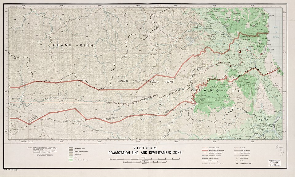
English: Map of the Vietnam demarcation line and demilitarized zone as of December 1966, United States. Central Intelligence Agency. |
| Sanasi | |
| Manba | https://www.loc.gov/item/75690898/ |
| Muallif | US department of State |
Litsenziyalash

|
This image is a work of a Central Intelligence Agency employee, taken or made as part of that person's official duties. As a Work of the United States Government, this image or media is in the public domain in the United States.
|

|
Fayl tarixi
Faylning biror paytdagi holatini koʻrish uchun tegishli sana/vaqtga bosingiz.
| Sana/Vaqt | Miniatura | Oʻlchamlari | Foydalanuvchi | Izoh | |
|---|---|---|---|---|---|
| joriy | 04:00, 2020-yil 20-sentyabr | | 3 588 × 2 156 (1,5 MB) | wikimediacommons>WisDom-UK | Uploaded a work by US department of State from https://www.loc.gov/maps/?q=vietnam+zone with UploadWizard |
Fayllarga ishoratlar
Bu faylga quyidagi sahifa bogʻlangan:
