
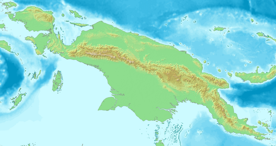
Fayl:Topological map of Neu Guinea.png

Bu prevyuning hajmi: 800 × 424 piksel. Boshqa oʻlchamlari: 2 283 × 1 210 piksel.
Asl fayl (2 283 × 1 210 piksel, fayl hajmi: 1,28 MB, MIME tipi: image/png)

| Taʼrif | Topological map of Neu Guinea |
| Sanasi | |
| Manba | own work, created with DEMIS Webserver |
| Muallif | Lencer |

|
Ushbu xarita Germaniyaning Kartenwerkstatt (Xarita laboratoriyasi) da yaratilgan yoki takomillashtirilgan. Siz ham yaxshilash uchun uchun xaritalar taklif qilishingiz mumkin.
|

|
This work has been released into the public domain by its author, demis.nl. This applies worldwide. In some countries this may not be legally possible; if so: demis.nl grants anyone the right to use this work for any purpose, without any conditions, unless such conditions are required by law.
|
Fayl tarixi
Faylning biror paytdagi holatini koʻrish uchun tegishli sana/vaqtga bosingiz.
| Sana/Vaqt | Miniatura | Oʻlchamlari | Foydalanuvchi | Izoh | |
|---|---|---|---|---|---|
| joriy | 20:52, 2007-yil 6-sentyabr | | 2 283 × 1 210 (1,28 MB) | wikimediacommons>Lencer | {{Information| |Description=Topological map of Neu Guinea |Source=own work, created with [http://www.demis.nl/home/pages/home.htm DEMIS] Webserver |Date=September 2007 |Author=Lencer |other_versions= }} {{Kartenwerkstatt}} {{PD-aut |
Fayllarga ishoratlar
Bu faylga quyidagi 2 sahifalar bogʻlangan:
