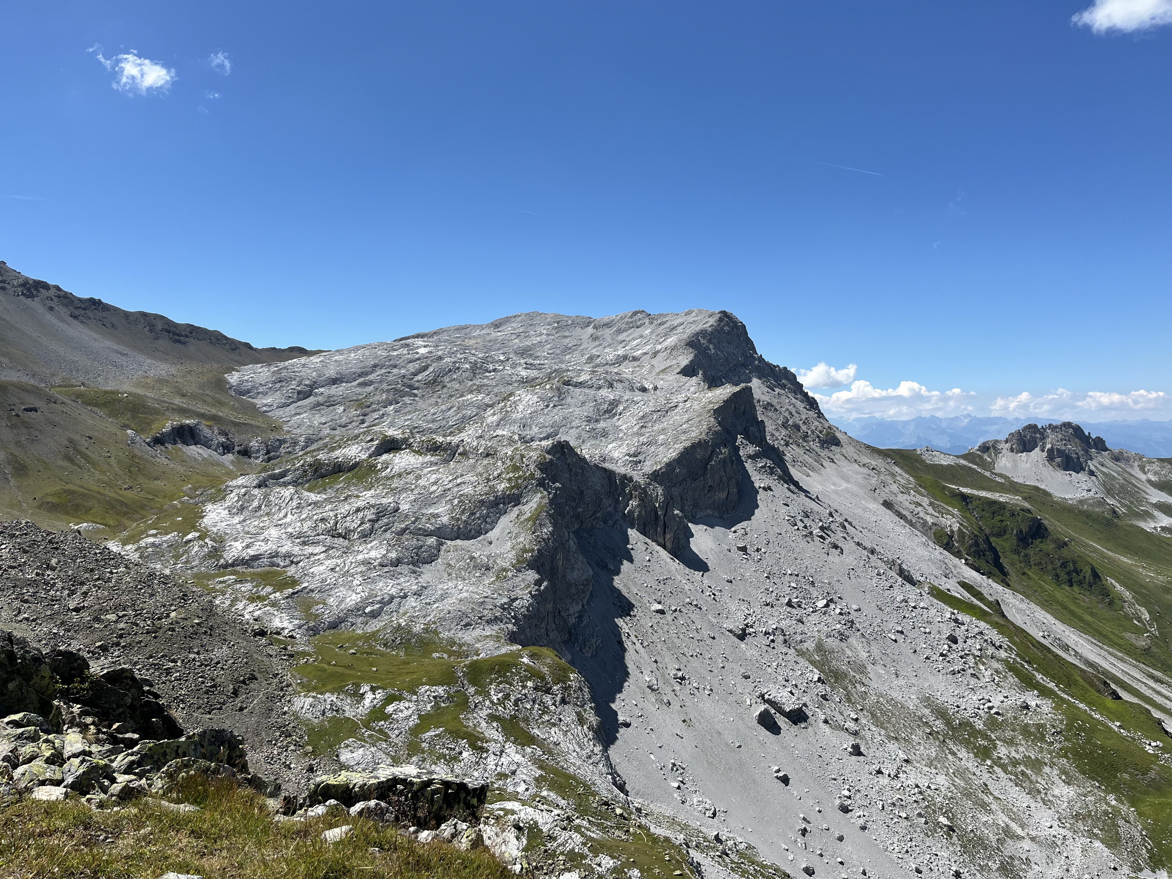
Fayl:Rätschenfluh vom Gafierjoch aus.jpg
Qiyofa
ZiyoSfera, erkin ensiklopediya
Bu prevyuning hajmi: 800 × 600 piksel. Boshqa oʻlchamlari: 2 560 × 1 920 piksel | 4 032 × 3 024 piksel.
Asl fayl (4 032 × 3 024 piksel, fayl hajmi: 4,81 MB, MIME tipi: image/jpeg)
Ushbu fayl Vikiomborga yuklangan boʻlib, boshqa loyihalarda ham qoʻllanilishi mumkin. Uning tavsif sahifasidan olingan maʼlumot quyida keltirilgan.
Qisqa izoh
| TaʼrifRätschenfluh vom Gafierjoch aus.jpg |
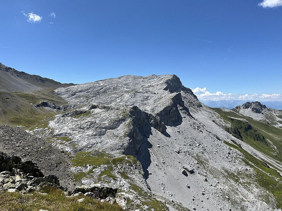
Deutsch: Der Blick auf die Rätschenfluh (auch Rätschenhorn, 2703 m ü. A.) vom Gafierjoch (2415 m ü. A.) an der Grenze der Schweiz zu Österreich. Oben links am Übergang des für den Rätikon typischen Kalkgesteins befindet sich das Rätschenjoch (2602 m ü. A.), von dem ein Weg auf den Gipfel führt. Rechts geht es nach St. Antönien (Schweiz) hinunter und der kleinere Gipfel hinten rechts ist das Hasenflüeli (2412 m ü. A.).
English: The view of the Rätschenfluh (also Rätschenhorn, 2703 m above sea level A.) from Gafierjoch (2415 m above sea level A.) on the border of Switzerland with Austria. At the top left at the junction of the limestone typical of the Rätikon is the Rätschenjoch (2602 m above sea level A.), from which a path leads to the summit. On the right it goes down to St. Antönien (Switzerland) and the smaller summit in the back right is the Hasenflüeli (2412 m above sea level A.). |
| Sanasi | |
| Manba | Oʻzimning ishim |
| Muallif | Delalphiodel |
| Camera location | 46° 56′ 38,88″ N, 9° 52′ 35,45″ E | View this and other nearby images on: OpenStreetMap |
|---|
Litsenziyalash
I, the copyright holder of this work, hereby publish it under the following license:
| This file is made available under the Creative Commons CC0 1.0 Universal Public Domain Dedication. | |
| The person who associated a work with this deed has dedicated the work to the public domain by waiving all of their rights to the work worldwide under copyright law, including all related and neighboring rights, to the extent allowed by law. You can copy, modify, distribute and perform the work, even for commercial purposes, all without asking permission.
http://creativecommons.org/publicdomain/zero/1.0/deed.enCC0Creative Commons Zero, Public Domain Dedicationfalsefalse |
Captions
Add a one-line explanation of what this file represents
Rätschenfluh from Gafierjoch on the border of Switzerland with Austria
Rätschenfluh vom Gafierjoch an der Grenze der Schweiz zu Österreich
Items portrayed in this file
tasvirlangan obyekt
some value
original creation by uploader inglizcha
3 avgust 2022
coordinates of the point of view inglizcha
46°56'38.879"N, 9°52'35.450"E
exposure time inglizcha
0.00025799793601651186 soniya
f-number inglizcha
1,6
focal length inglizcha
5,1 millimetr
ISO speed inglizcha
50
image/jpeg
Fayl tarixi
Faylning biror paytdagi holatini koʻrish uchun tegishli sana/vaqtga bosingiz.
| Sana/Vaqt | Miniatura | Oʻlchamlari | Foydalanuvchi | Izoh | |
|---|---|---|---|---|---|
| joriy | 16:37, 2023-yil 27-iyul | Miniatyurasi yoʻq | 4 032 × 3 024 (4,81 MB) | wikimediacommons>Delalphiodel | Uploaded own work with UploadWizard |
Fayllarga ishoratlar
Bu faylga quyidagi sahifa bogʻlangan:
Metama’lumot
Bu fayl qoʻshimcha maʼlumotlarni oʻz ichiga oladi, ehtimol uni tuzish yoxud raqamlashtirish uchun raqamli kamera yoki skanerdan foydalanilgan.
Agar fayl asl holatidan oʻzgartirilgan boʻlsa, baʼzi tafsilotlar oʻzgartirilgan faylni toʻliq aks ettirmasligi mumkin.
| Camera manufacturer | Apple |
|---|---|
| Camera model | iPhone 13 mini |
| Exposure time | 1/3 876 sec (0,00025799793601651) |
| F Number | f/1,6 |
| ISO speed rating | 50 |
| Date and time of data generation | 13:34, 2022-yil 3-avgust |
| Lens focal length | 5,1 mm |
| Latitude | 46° 56′ 38,88″ N |
| Longitude | 9° 52′ 35,45″ E |
| Altitude | 2 417,955 meters above sea level |
| Orientation | Normal |
| Horizontal resolution | 72 dpi |
| Vertical resolution | 72 dpi |
| Software used | 15.6 |
| File change date and time | 13:34, 2022-yil 3-avgust |
| Y and C positioning | Centered |
| Exposure Program | Normal program |
| Exif version | 2.32 |
| Date and time of digitizing | 13:34, 2022-yil 3-avgust |
| Meaning of each component |
|
| APEX shutter speed | 11,920341312564 |
| APEX aperture | 1,3561438092556 |
| APEX brightness | 10,0643722116 |
| APEX exposure bias | 0 |
| Metering mode | Pattern |
| Flash | Flash did not fire, compulsory flash suppression |
| DateTimeOriginal subseconds | 673 |
| DateTimeDigitized subseconds | 673 |
| Supported Flashpix version | 1 |
| Color space | Uncalibrated |
| Sensing method | One-chip color area sensor |
| Scene type | A directly photographed image |
| Exposure mode | Auto exposure |
| White balance | Auto white balance |
| Focal length in 35 mm film | 26 mm |
| Scene capture type | Standard |
| Speed unit | Kilometers per hour |
| Speed of GPS receiver | 0 |
| Reference for direction of image | True direction |
| Direction of image | 248,18661518662 |
| Reference for bearing of destination | True direction |
| Bearing of destination | 248,18661518662 |