
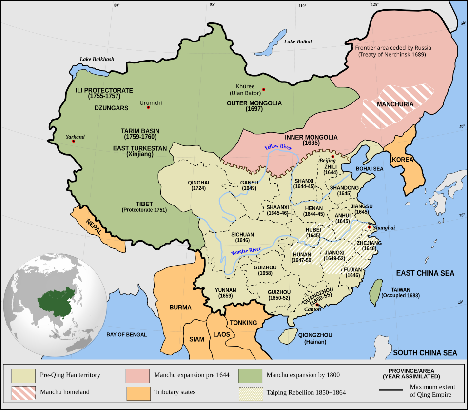
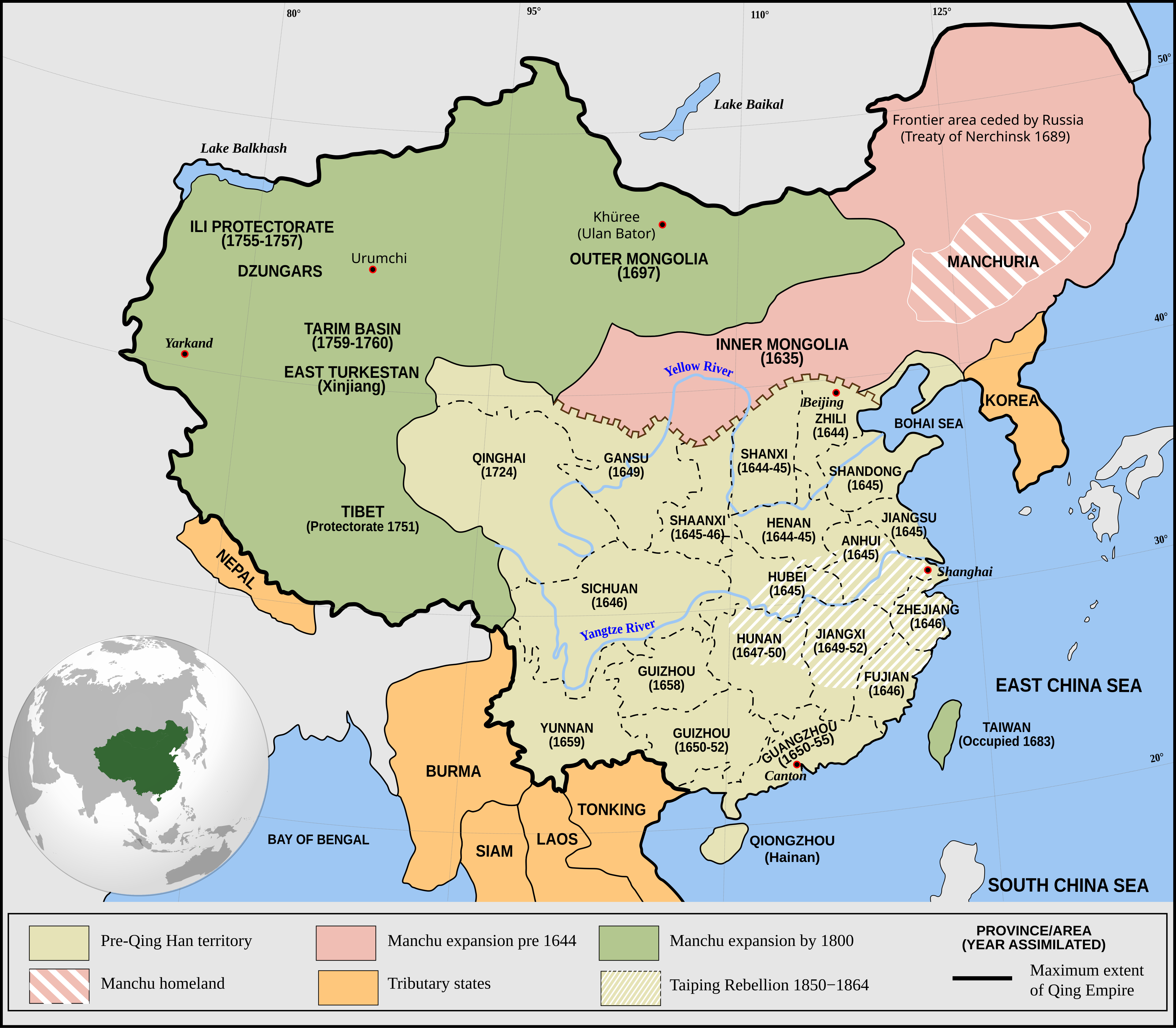
Fayl:Qing Empire circa 1820 EN.svg

Size of this PNG preview of this SVG file: 686 × 600 piksel. Boshqa oʻlchamlari: 2 343 × 2 048 piksel.
Asl fayl (SVG fayl, asl oʻlchamlari 849 × 742 piksel, fayl hajmi: 548 KB)




Qisqa izoh
| Taʼrif |
English: Qing Empire c. 1820 |
| Sanasi | |
| Manba | Oʻzimning ishim Incorporates modified version of File:Empire of the Great Qing (orthographic projection).svg. Note that the map excludes Tawang from Tibet. |
| Muallif | Philg88: Attribution Wikimedia Foundation, www.wikimedia.org |

Litsenziyalash


This file is licensed under the Creative Commons Attribution 4.0 International license.
- Siz erkinsiz:
- ulashishga – ishlanmani nusxalash, tarqatish va uzatish
- remiks qilishga – ishni moslashtirishga
- Quyidagi shartlar asosida:
- atribut – Siz tegishli litsenziyaga havolani taqdim etishingiz va oʻzgartirishlar kiritilganligini koʻrsatishingiz kerak. Siz buni har qanday oqilona yoʻl bilan qilishingiz mumkin, lekin litsenziar Sizni yoki Sizning foydalanishingizni ma'qullashini taklif qiladigan tarzda emas.
Fayl tarixi
Faylning biror paytdagi holatini koʻrish uchun tegishli sana/vaqtga bosingiz.
| Sana/Vaqt | Miniatura | Oʻlchamlari | Foydalanuvchi | Izoh | |
|---|---|---|---|---|---|
| joriy | 01:03, 2021-yil 14-iyun | | 849 × 742 (548 KB) | wikimediacommons>SSH remoteserver | Reverted to version as of 03:34, 13 June 2021 (UTC) |
Fayllarga ishoratlar
Bu faylga quyidagi 2 sahifalar bogʻlangan:
