
Fayl:Pacific elevation.jpg

Bu prevyuning hajmi: 632 × 599 piksel. Boshqa oʻlchamlari: 2 500 × 2 370 piksel.
Asl fayl (2 500 × 2 370 piksel, fayl hajmi: 899 KB, MIME tipi: image/jpeg)

Qisqa izoh
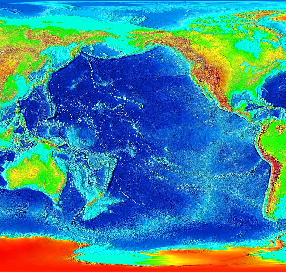
Elevation of the Pacific ocean
Source: ETOPO2v2, a digital database of seafloor and land elevations created by the World Data Center for Geophysics & Marine Geology (Boulder, CO), National Geophysical Data Center, NOAA.
Litsenziyalash

|
This image is in the public domain because it contains materials that originally came from the U.S. National Oceanic and Atmospheric Administration, taken or made as part of an employee's official duties.
|
 |
derivative works
Derivative works of this file: Pacific elevation2.jpg

Fayl tarixi
Faylning biror paytdagi holatini koʻrish uchun tegishli sana/vaqtga bosingiz.
| Sana/Vaqt | Miniatura | Oʻlchamlari | Foydalanuvchi | Izoh | |
|---|---|---|---|---|---|
| joriy | 08:41, 2006-yil 7-mart | | 2 500 × 2 370 (899 KB) | wikimediacommons>Interiot~commonswiki | Elevation of the Pacific ocean Source: http://www.ngdc.noaa.gov/mgg/image/2minrelief.html |
Fayllarga ishoratlar
Bu faylga quyidagi sahifa bogʻlangan:
