
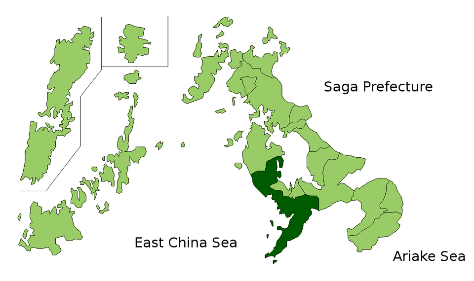
Fayl:Nagasaki in Nagasaki Prefecture.png

Bu prevyuning hajmi: 800 × 475 piksel. Boshqa oʻlchamlari: 1 181 × 701 piksel.
Asl fayl (1 181 × 701 piksel, fayl hajmi: 38 KB, MIME tipi: image/png)


|
This map image could be re-created using vector graphics as a SVG file. This has several advantages; see Commons:Media for cleanup for more information. If a SVG form of this image is available, please upload it and afterwards replace this template with
{{vector version available|new image name}}.It is recommended to name the SVG file “Nagasaki in Nagasaki Prefecture.svg”—then the template Vector version available (or Vva) does not need the new image name parameter. |
Qisqa izoh
| Taʼrif | The location of Nasasaki in Nagasaki Prefectuur, Japan |
| Sanasi | |
| Manba | File:NagasakiMapCurrent.png |
| Muallif | User:alberth2 |
| Ruxsat (Bu faylning takror foydalanilishi) |
publiek |

Litsenziyalash

|
I, the copyright holder of this work, release this work into the public domain. This applies worldwide. In some countries this may not be legally possible; if so: I grant anyone the right to use this work for any purpose, without any conditions, unless such conditions are required by law. |
Fayl tarixi
Faylning biror paytdagi holatini koʻrish uchun tegishli sana/vaqtga bosingiz.
| Sana/Vaqt | Miniatura | Oʻlchamlari | Foydalanuvchi | Izoh | |
|---|---|---|---|---|---|
| joriy | 20:52, 2010-yil 31-mart | | 1 181 × 701 (38 KB) | wikimediacommons>Alberth2 | Shikamachi Town and Emukae Town were merged into Sasebo City. |
Fayllarga ishoratlar
Bu faylga quyidagi sahifa bogʻlangan:
