
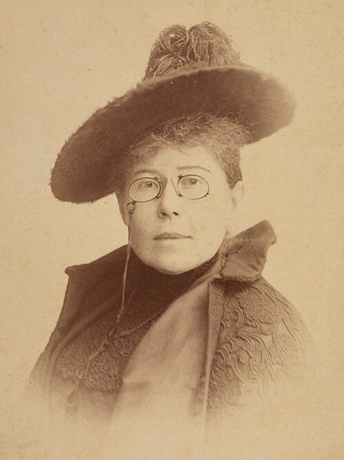
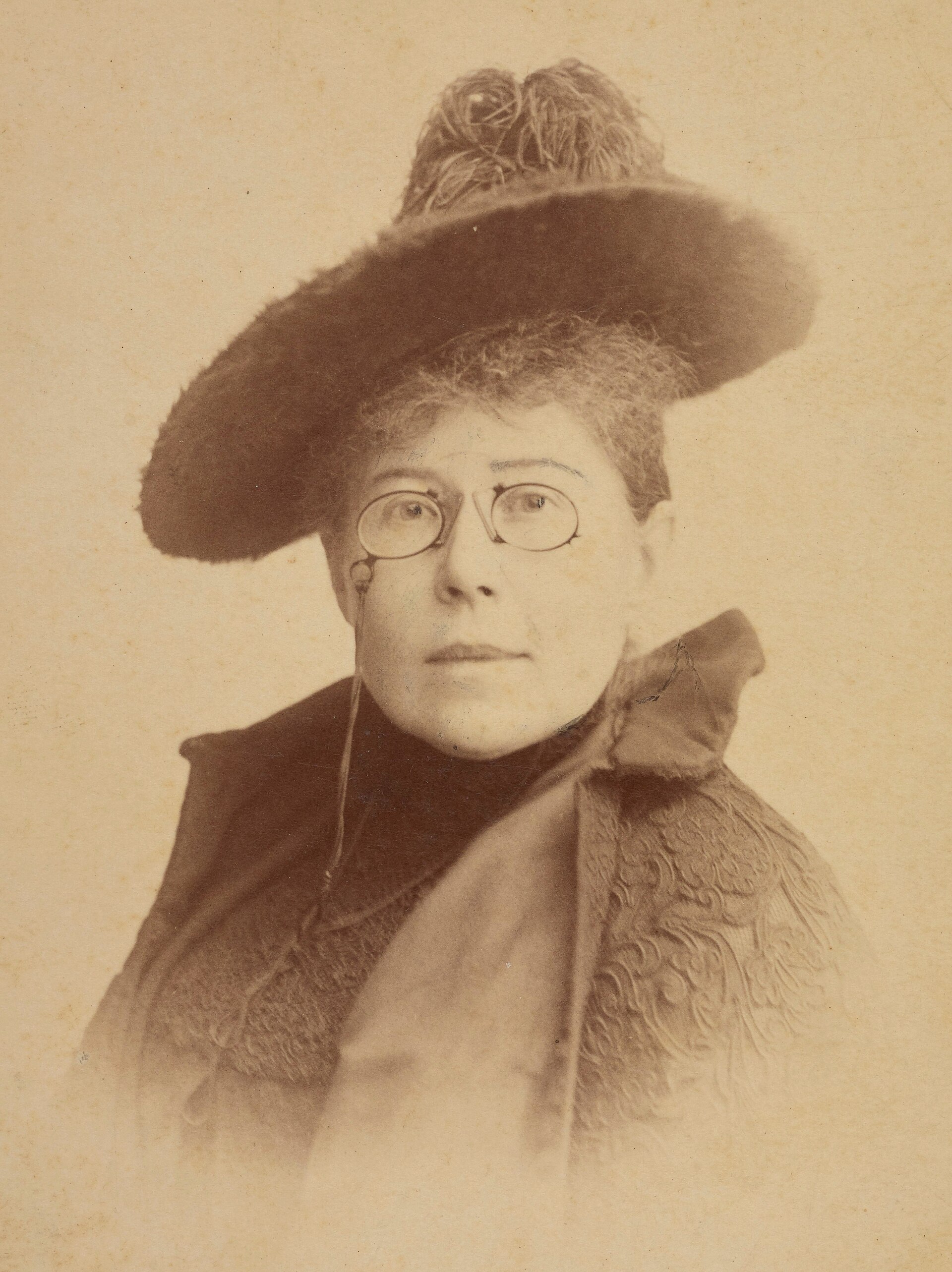
Fayl:Maria Konopnicka fotoportret.jpg

Bu prevyuning hajmi: 449 × 600 piksel. Boshqa oʻlchamlari: 1 533 × 2 048 piksel | 3 712 × 4 960 piksel.
Asl fayl (3 712 × 4 960 piksel, fayl hajmi: 2,25 MB, MIME tipi: image/jpeg)
Polski: Portret Marii Konopnickiej
(   ) |
||||||||||||||||||||||||
|---|---|---|---|---|---|---|---|---|---|---|---|---|---|---|---|---|---|---|---|---|---|---|---|---|
| Fotograf |
|
|||||||||||||||||||||||
| Title |
Polski: Portret Marii Konopnickiej |
|||||||||||||||||||||||
| Original caption |
Polski: Adres wydawniczy: [ca 1897] Opis fizyczny: 1 fotografia : odbitka na papierze albuminowym ; 16,8x11,2 cm Na rewersie autograf dedykacji.; Tytuł nadany przez katalogującego. |
|||||||||||||||||||||||
| Sanasi | circa 1897 | |||||||||||||||||||||||
| Collection |
|
|||||||||||||||||||||||
| Accession number |
F.122415/G |
|||||||||||||||||||||||
| Manba |
|
|||||||||||||||||||||||
| Ruxsat (Bu faylning takror foydalanilishi) |
|
|||||||||||||||||||||||
| OpenStreetMap | Relation 5506637 | |||||||||||||||||||||||


| Object location |  | View this and other nearby images on: OpenStreetMap |  |
|---|



|
This file was uploaded to Wikimedia Commons as part of a GLAM-Wiki partnership between the National Library of Poland and Wikimedia Polska.
|

|
Fayl tarixi
Faylning biror paytdagi holatini koʻrish uchun tegishli sana/vaqtga bosingiz.
| Sana/Vaqt | Miniatura | Oʻlchamlari | Foydalanuvchi | Izoh | |
|---|---|---|---|---|---|
| joriy | 03:57, 2024-yil 16-mart | | 3 712 × 4 960 (2,25 MB) | wikimediacommons>ኤምኡ ሞኝ ነው | not familiar with COM:OW, upload new file |
Fayllarga ishoratlar
Bu faylga quyidagi sahifa bogʻlangan:
