Kontent qismiga oʻtish

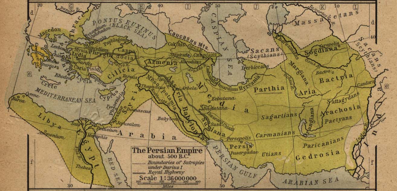
Fayl:Map of the Achaemenid Empire.jpg

ZiyoSfera, erkin ensiklopediya
Asl fayl (1 314 × 635 piksel, fayl hajmi: 1,1 MB, MIME tipi: image/jpeg)

Ushbu fayl Vikiomborga yuklangan boʻlib, boshqa loyihalarda ham qoʻllanilishi mumkin. Uning tavsif sahifasidan olingan maʼlumot quyida keltirilgan.

File:ImperioAqueménida500AC.svg is a vector version of this file. It should be used in place of this JPG file when not inferior.

File:Map of the Achaemenid Empire.jpg → File:ImperioAqueménida500AC.svg

For more information, see Help:SVG.

In other languages
Alemannisch ∙ العربية ∙ беларуская (тарашкевіца) ∙ български ∙ বাংলা ∙ català ∙ нохчийн ∙ čeština ∙ dansk ∙ Deutsch ∙ Ελληνικά ∙ English ∙ British English ∙ Esperanto ∙ español ∙ eesti ∙ euskara ∙ فارسی ∙ suomi ∙ français ∙ Frysk ∙ galego ∙ Alemannisch ∙ עברית ∙ हिन्दी ∙ hrvatski ∙ magyar ∙ հայերեն ∙ Bahasa Indonesia ∙ Ido ∙ italiano ∙ 日本語 ∙ ქართული ∙ 한국어 ∙ lietuvių ∙ македонски ∙ മലയാളം ∙ Bahasa Melayu ∙ မြန်မာဘာသာ ∙ norsk bokmål ∙ Plattdüütsch ∙ Nederlands ∙ norsk nynorsk ∙ norsk ∙ occitan ∙ polski ∙ prūsiskan ∙ português ∙ português do Brasil ∙ română ∙ русский ∙ sicilianu ∙ Scots ∙ slovenčina ∙ slovenščina ∙ српски / srpski ∙ svenska ∙ தமிழ் ∙ ไทย ∙ Türkçe ∙ татарча / tatarça ∙ українська ∙ vèneto ∙ Tiếng Việt ∙ 中文 ∙ 中文(中国大陆) ∙ 中文(简体) ∙ 中文(繁體) ∙ 中文(马来西亚) ∙ 中文(新加坡) ∙ 中文(臺灣) ∙ +/−
New SVG image

Taʼrif
Español: Mapa histórico del imperio Aqueménido.
English: Historic map of the Achaemenid Empire
Français : Carte historique de l'empire achéménide
فارسی: نقشهٔ تاریخی از گسترهٔ شاهنشاهی هخامنشیان
Sanasi
Manba
Muallif
William Robert Shepherd (1871–1934)  wikidata:Q8017647 s:en:Author:William Robert Shepherd
 
William Robert Shepherd
Alternative names
William R. Shepherd; William Shepherd
Description American cartographer va historian
Date of birth/death 12 iyun 1871 Edit this at Wikidata 7 iyun 1934 Edit this at Wikidata
Location of birth/death Charleston Edit this at Wikidata Berlin Edit this at Wikidata
Work location
Hokimiyat nazorati
creator QS:P170,Q8017647
Ruxsat
(Bu faylning takror foydalanilishi)
Public domain
This work is in the public domain in the United States because it was published (or registered with the U.S. Copyright Office) before January 1, 1931.

Public domain works must be out of copyright in both the United States and in the source country of the work in order to be hosted on the Commons. If the work is not a U.S. work, the file must have an additional copyright tag indicating the copyright status in the source country.
Note: This tag should not be used for sound recordings.PD-1923Public domain in the United States//commons.wikimedia.org/wiki/File:Map_of_the_Achaemenid_Empire.jpg
Other versions

Captions

Add a one-line explanation of what this file represents
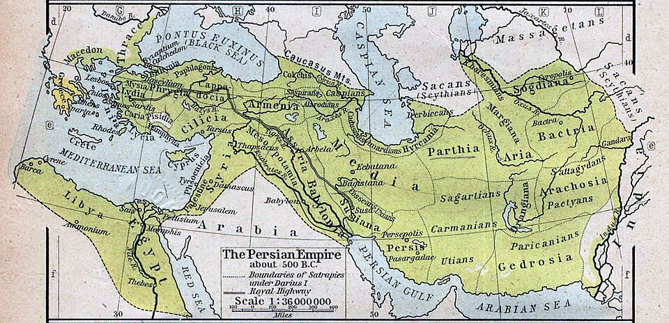
Historic map of the Achaemenid empire at its greatest extent

image/jpeg

data size inglizcha

1 152 339 Bayt

width inglizcha

1 314 piksel

checksum inglizcha

4a41513f8cb869df4d6108df3af52b606ea452df

Fayl tarixi

Faylning biror paytdagi holatini koʻrish uchun tegishli sana/vaqtga bosingiz.

Sana/VaqtMiniaturaOʻlchamlariFoydalanuvchiIzoh
joriy15:07, 2019-yil 16-yanvar15:07, 2019-yil 16-yanvar dagi versiya uchun tasvir1 314 × 635 (1,1 MB)wikimediacommons>Pataliputra!clarified

Bu faylga quyidagi 3 sahifalar bogʻlangan:

Metama’lumot