
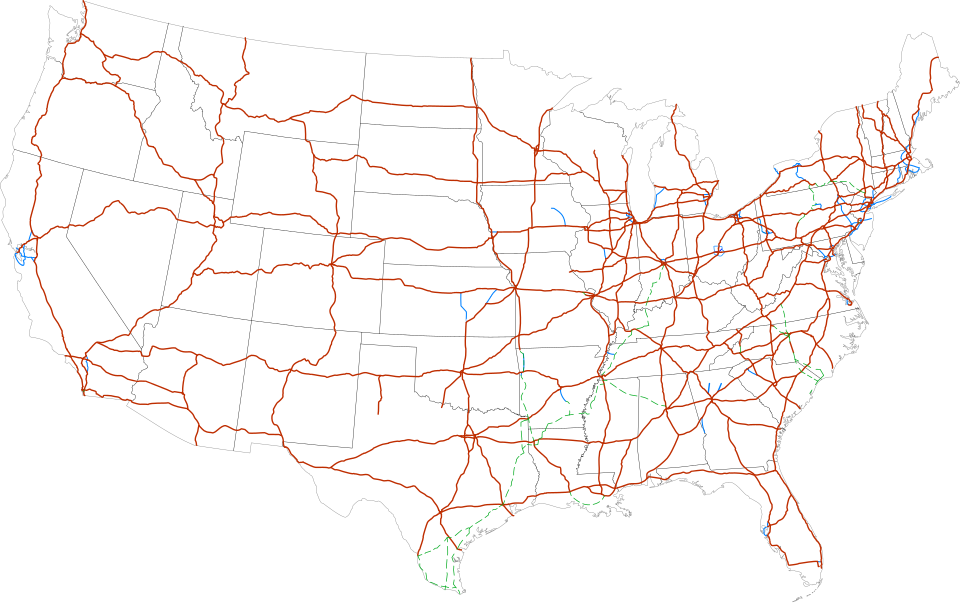
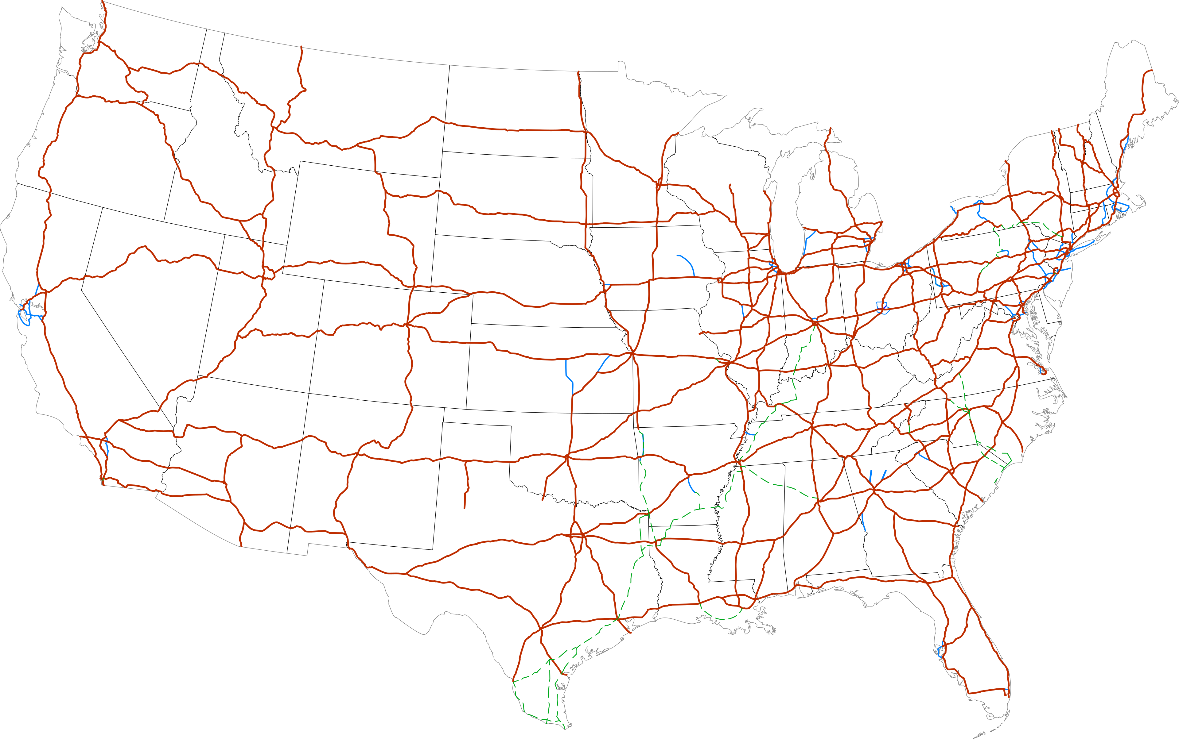
Fayl:Map of current Interstates.svg

Size of this PNG preview of this SVG file: 689 × 432 piksel. Boshqa oʻlchamlari: 2 560 × 1 605 piksel.
Asl fayl (SVG fayl, asl oʻlchamlari 689 × 432 piksel, fayl hajmi: 518 KB)
Qisqa izoh
| Taʼrif |
Labels:
One or Two-digit interstates (dark orange line)
Selected three-digit interstates (blue line)
Selected planned interstates (green dashed line) |
| Sanasi | |
| Manba | National Atlas |
| Muallif | SPUI |


Litsenziyalash

|
This work has been released into the public domain by its author, SPUI. This applies worldwide. In some countries this may not be legally possible; if so: |
| Annotations | This image is annotated: View the annotations at Commons |
Fayl tarixi
Faylning biror paytdagi holatini koʻrish uchun tegishli sana/vaqtga bosingiz.
| Sana/Vaqt | Miniatura | Oʻlchamlari | Foydalanuvchi | Izoh | |
|---|---|---|---|---|---|
| joriy | 16:19, 2013-yil 13-fevral | | 689 × 432 (518 KB) | wikimediacommons>Scott5114 | Add I-49 in Missouri |
Fayllarga ishoratlar
Bu faylga quyidagi sahifa bogʻlangan:
