
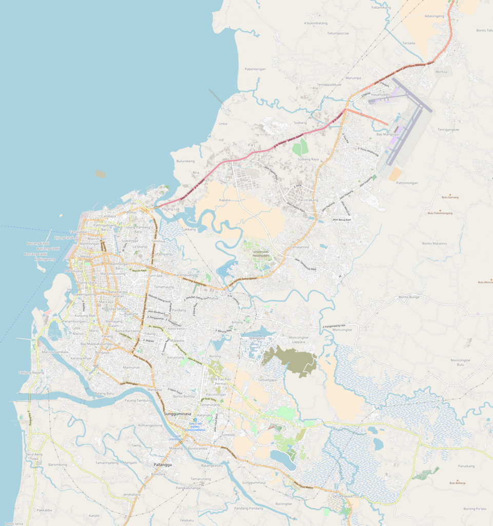
Fayl:Location map Makassar.png

Bu prevyuning hajmi: 561 × 599 piksel. Boshqa oʻlchamlari: 1 923 × 2 054 piksel.
Asl fayl (1 923 × 2 054 piksel, fayl hajmi: 2,38 MB, MIME tipi: image/png)

Qisqa izoh
| Taʼrif |
English: Location map of Makassar from OSM
Boundaries:
|
| Sanasi | |
| Manba | OpenStreetMap |
| Muallif | OSM Contributors |
Litsenziyalash

|
This work contains information from OpenStreetMap, which is made available under the Open Database License (ODbL).
The ODbL does not require any particular license for maps produced from ODbL data. Prior to 1 August 2020, map tiles produced by the OpenStreetMap Foundation were licensed under the CC-BY-SA-2.0 license. Maps produced by other people may be subject to other licences. |
Fayl tarixi
Faylning biror paytdagi holatini koʻrish uchun tegishli sana/vaqtga bosingiz.
| Sana/Vaqt | Miniatura | Oʻlchamlari | Foydalanuvchi | Izoh | |
|---|---|---|---|---|---|
| joriy | 21:43, 2018-yil 14-may | | 1 923 × 2 054 (2,38 MB) | wikimediacommons>Juxlos | User created page with UploadWizard |
Fayllarga ishoratlar
Bu faylga quyidagi 2 sahifalar bogʻlangan:
