
Fayl:Kingdom of Hungary counties.svg

Size of this PNG preview of this SVG file: 779 × 513 piksel. Boshqa oʻlchamlari: 2 560 × 1 686 piksel.
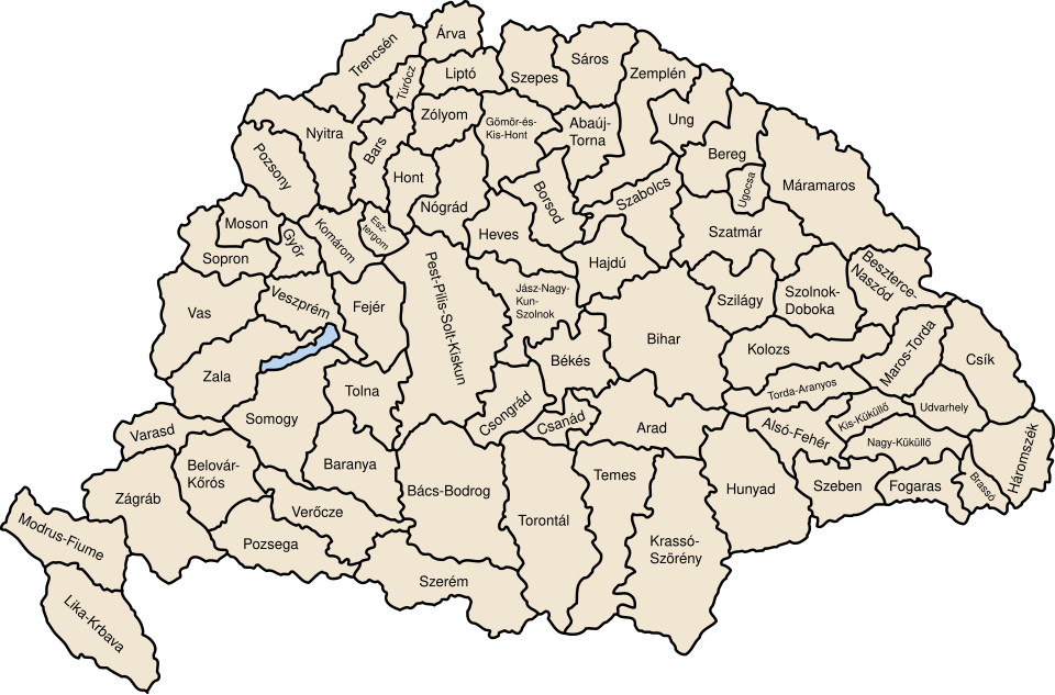
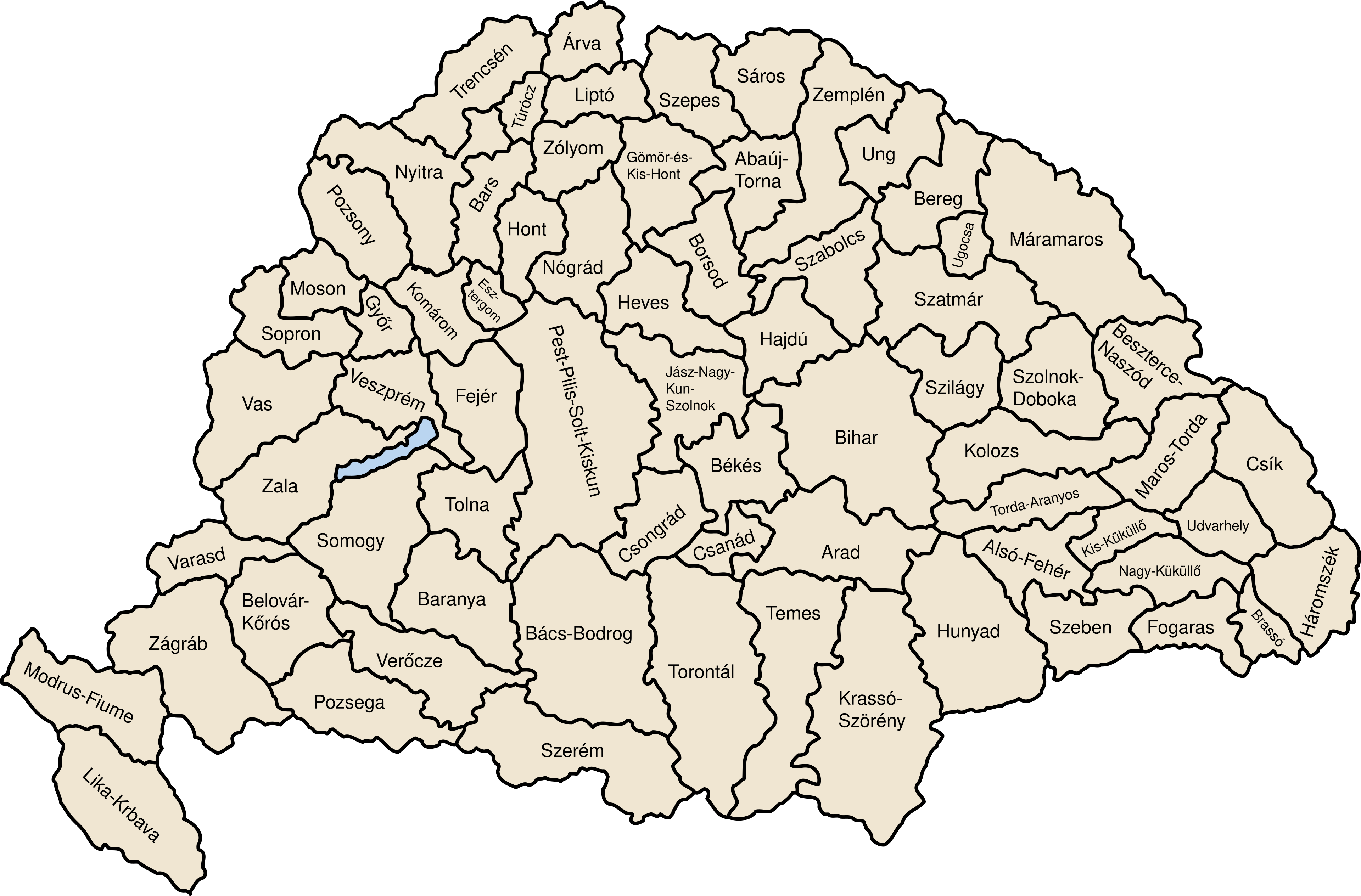
Asl fayl (SVG fayl, asl oʻlchamlari 779 × 513 piksel, fayl hajmi: 235 KB)

Qisqa izoh
| Taʼrif | Map of counties of Kingdom of Hungary (Hungary proper and Croatia & Slavonia), 1886-1918 |
| Sanasi | |
| Manba | Oʻzimning ishim |
| Muallif | User:IMeowbot |
| Other versions | Derivative works of this file: Kingdom of Hungary counties-2.svg |
| SVG development |  W3C-validity not checked. |

Litsenziyalash

|
I, the copyright holder of this work, release this work into the public domain. This applies worldwide. In some countries this may not be legally possible; if so: I grant anyone the right to use this work for any purpose, without any conditions, unless such conditions are required by law. |
Fayl tarixi
Faylning biror paytdagi holatini koʻrish uchun tegishli sana/vaqtga bosingiz.
| Sana/Vaqt | Miniatura | Oʻlchamlari | Foydalanuvchi | Izoh | |
|---|---|---|---|---|---|
| joriy | 12:41, 2023-yil 19-iyul | | 779 × 513 (235 KB) | wikimediacommons>Alphathon | Reverted to version as of 22:47, 16 August 2022 (UTC). Bars/Hont and Csongrád/Bács-Bodrog borders are inaccurate, several more are distored (most only slightly) and the file is a "FakeSVG" – a raster image using an SVG as a container with no actual vector elements. |
Fayllarga ishoratlar
Bu faylga quyidagi sahifa bogʻlangan:
