
Fayl:Kars districts.png

Bu prevyuning hajmi: 776 × 600 piksel. Boshqa oʻlchamlari: 1 056 × 816 piksel.
Asl fayl (1 056 × 816 piksel, fayl hajmi: 15 KB, MIME tipi: image/png)

Qisqa izoh
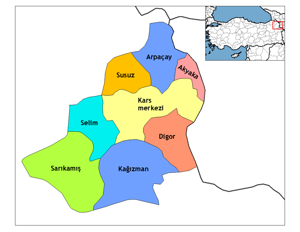
| Taʼrif | Map of the districts of Kars province in Turkey. Created by Rarelibra 21:58, 1 December 2006 (UTC) for public domain use, using MapInfo Professional v8.5 and various mapping resources. Edited by One Homo Sapiens Corrected text where İ,Ş,ı,ğ,or ş occurs in name. Source: [statoids-com]. Increased font size and enhanced color differences among adjacent districts. |
| Sanasi | 1 dekabr 2006 (original upload date) |
| Manba | No machine-readable source provided. Own work assumed (based on copyright claims). |
| Muallif | No machine-readable author provided. Rarelibra assumed (based on copyright claims). |
Litsenziyalash

|
I, the copyright holder of this work, release this work into the public domain. This applies worldwide. In some countries this may not be legally possible; if so: I grant anyone the right to use this work for any purpose, without any conditions, unless such conditions are required by law. |
Fayl tarixi
Faylning biror paytdagi holatini koʻrish uchun tegishli sana/vaqtga bosingiz.
| Sana/Vaqt | Miniatura | Oʻlchamlari | Foydalanuvchi | Izoh | |
|---|---|---|---|---|---|
| joriy | 04:43, 2008-yil 29-dekabr | | 1 056 × 816 (15 KB) | wikimediacommons>One Homo Sapiens | Corrected text where İ,Ş,ı,ğ,or ş occurs in name. Source: [statoids-com]. Increased font size and enhanced color differences among adjacent districts. |
Fayllarga ishoratlar
Bu faylga quyidagi sahifa bogʻlangan:
