Fayl:Kaliningrad Oblast within Europe.svg
Qiyofa
ZiyoSfera, erkin ensiklopediya
Size of this PNG preview of this SVG file: 680 × 520 piksel. Boshqa oʻlchamlari: 2 560 × 1 958 piksel.
Asl fayl (SVG fayl, asl oʻlchamlari 680 × 520 piksel, fayl hajmi: 690 KB)
Ushbu fayl Vikiomborga yuklangan boʻlib, boshqa loyihalarda ham qoʻllanilishi mumkin. Uning tavsif sahifasidan olingan maʼlumot quyida keltirilgan.
Qisqa izoh
| TaʼrifKaliningrad Oblast within Europe.svg |
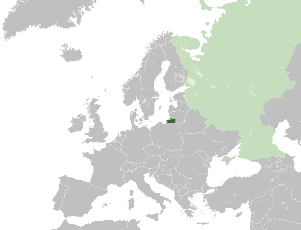
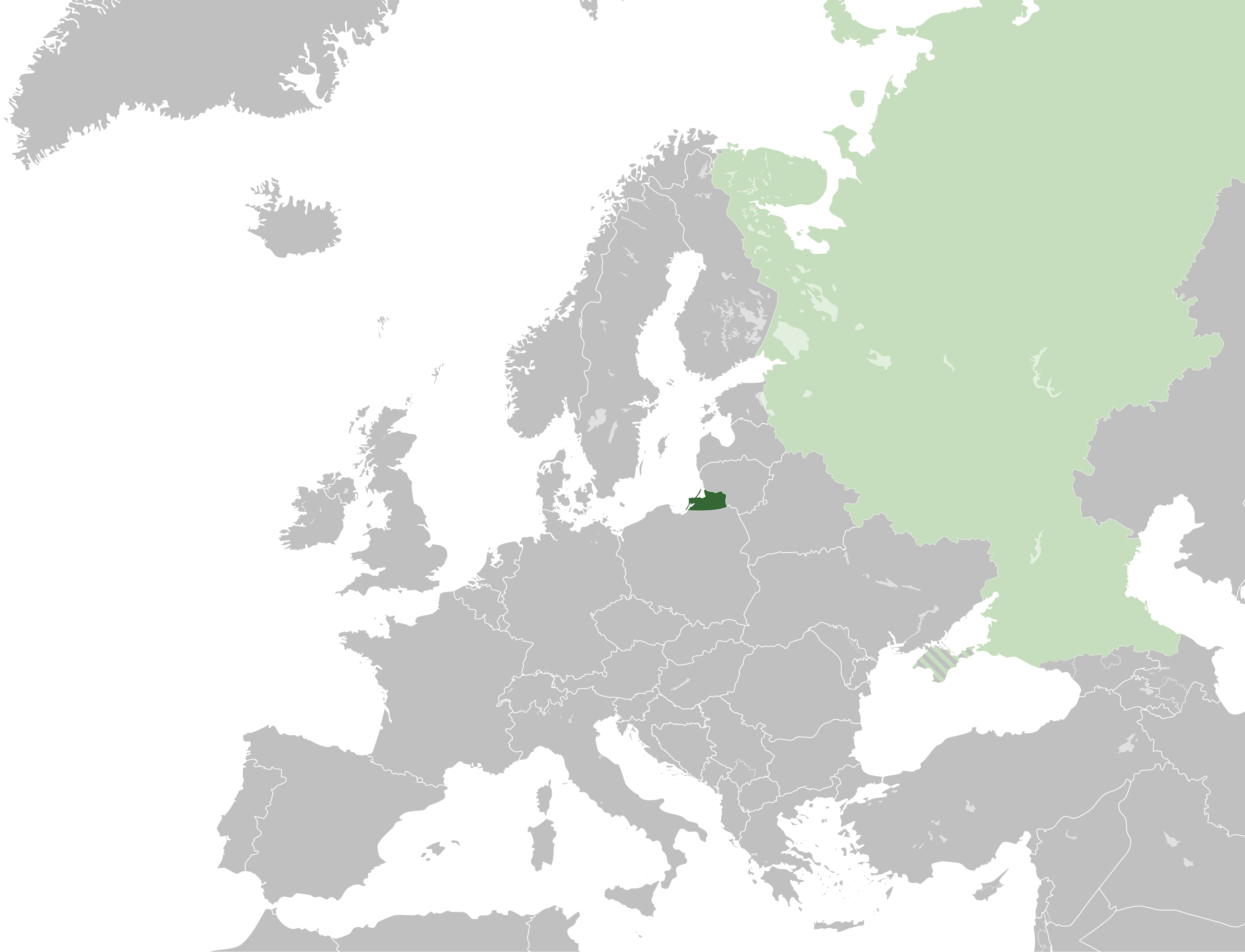
English: Map of the Kaliningrad Oblast of the Russian Federation within Europe.
|
| Sanasi | |
| Manba |
This file was derived from: Blank map of europe.svg: File:Blank map of europe.svg |
| Muallif |
|
| SVG genesis InfoField |
| This image has an extracted file: Kaliningrad Oblast within Europe (cropped).svg. |
Litsenziyalash
I, the copyright holder of this work, hereby publish it under the following license:
Bu fayl Creative Commons asosida litsenziyalangan Attribution- Share Alike 3.0 Unported litsenziyasi.
- Siz erkinsiz:
- ulashishga – ishlanmani nusxalash, tarqatish va uzatish
- remiks qilishga – ishni moslashtirishga
- Quyidagi shartlar asosida:
- atribut – Siz tegishli litsenziyaga havolani taqdim etishingiz va oʻzgartirishlar kiritilganligini koʻrsatishingiz kerak. Siz buni har qanday oqilona yoʻl bilan qilishingiz mumkin, lekin litsenziar Sizni yoki Sizning foydalanishingizni ma'qullashini taklif qiladigan tarzda emas.
- bir xil ulashish – Agar Siz materialni remiks qilsangiz, oʻzgartirsangiz yoki unga asoslansangiz, oʻz hissalaringizni asl nusxadagi kabi bir xil yoki mos litsenziya ostida tarqatishingiz kerak.
Captions
Add a one-line explanation of what this file represents
Kaliningrad Oblast (dark green) with the rest of Russia (light green with crimea hashed)
Калининградская область России на карте Европы
Items portrayed in this file
tasvirlangan obyekt
28 aprel 2015
Fayl tarixi
Faylning biror paytdagi holatini koʻrish uchun tegishli sana/vaqtga bosingiz.
| Sana/Vaqt | Miniatura | Oʻlchamlari | Foydalanuvchi | Izoh | |
|---|---|---|---|---|---|
| joriy | 17:38, 2015-yil 28-aprel | 680 × 520 (690 KB) | wikimediacommons>Alphathon | {{Information |Description={{en|Map of the en:Kaliningrad Oblast of the en:Russian Federation within Europe. {{legend|#346733|Kaliningrad Oblast}} {{legend|#c6debd|Remainder of the Russian Federation (de jure) + Crimea (de facto; hashed are... |
Fayllarga ishoratlar
Bu faylga quyidagi sahifa bogʻlangan:
Metama’lumot
Bu fayl qoʻshimcha maʼlumotlarni oʻz ichiga oladi, ehtimol uni tuzish yoxud raqamlashtirish uchun raqamli kamera yoki skanerdan foydalanilgan.
Agar fayl asl holatidan oʻzgartirilgan boʻlsa, baʼzi tafsilotlar oʻzgartirilgan faylni toʻliq aks ettirmasligi mumkin.
| Short title | Russian Kaliningrad Oblast |
|---|---|
| Image title | A map of the Kaliningrad Oblast of the Russian Federation within Europe. Every country has an id which is its ISO-3166-1-ALPHA2 code in lower case.
Members of the EU have a class="eu", countries in europe (which I found turkey to be but russia not) have a class="europe". Certain countries are further subdivided the United Kingdom has gb-gbn for Great Britain and gb-nir for Northern Ireland. Russia is divided into ru-kgd for the Kaliningrad Oblast and ru-main for the Main body of Russia. There is the additional grouping #xb for the "British Islands" (the UK with its Crown Dependencies - Jersey, Guernsey and the Isle of Man) and the Kingdom of Denmark (Denmark, Faroe Islands, Greenland) Contributors. Original Image: (-{R|http://commons.wikimedia.org/wiki/Image:Europe_countries.svg}-) Júlio Reis (-{R|http://commons.wikimedia.org/wiki/User:Tintazul}-). Recolouring and tagging with country codes: Marian "maix" Sigler (-{R|http://commons.wikimedia.org/wiki/User:Maix}-) Improved geographical features: -{R|http://commons.wikimedia.org/wiki/User:W!B}-: Updated to reflect dissolution of Serbia & Montenegro: -{R|http://commons.wikimedia.org/wiki/User:Zirland}- Updated to include British Crown Dependencies as seperate entities and regroup them as "British Islands", with some simplifications to the XML and CSS: James Hardy (-{R|http://commons.wikimedia.org/wiki/User:MrWeeble}-) Validated (-{R|http://commons.wikimedia.org/wiki/User:CarolSpears}-) Changed the country code of Serbia to RS per -{R|http://en.wikipedia.org/wiki/Serbian_country_codes}- and the file -{R|http://www.iso.org/iso/iso3166_en_code_lists.txt}- (-{R|http://commons.wikimedia.org/wiki/User:TimothyBourke}-) Uploaded on behalf of User:Checkit, direct complaints to him plox: 'Moved countries out of the "outlines" group, removed "outlines" style class, remove separate style information for Russia' (-{R|http://commons.wikimedia.org/wiki/User:Collard}-) Updated various coastlines and boarders and added various islands not previously shown (details follow). Added Kosovo, Northern Cyprus, Crimea, Abkhazia, South Ossetia, Transnistria and Nagorno-Karabakh as disputed territories. Moved major lakes to their own object and added more. List of updated boarders/coastlines: British Isles (+ added Isle of Wight, Skye, various smaller islands), the Netherlands, Germany, Austria, Hungary, Czech Republic, Denmark, Sweden, Finland, Poland, Kaliningrad Oblast of the Russian Federation (and minor tweaks to Lithuania), Estonia, Ukraine, Moldova (minor), Romania, Bulgaria, Turkey, Greece, F.Y.R. Macedonia, Serbia, Bosnia and Herzegovina, Montenegro, Albania, Croatia, Italy (mainland and Sicily), Malta (-{R|http://commons.wikimedia.org/wiki/User:Alphathon}-). Added Bornholm (-{R|http://commons.wikimedia.org/wiki/User:Heb}-)Released under CreativeCommons Attribution ShareAlike (-{R|http://creativecommons.org/licenses/by-sa/2.5/}-). |
| Width | 680 |
| Height | 520 |