
Fayl:Greenland 42.74746W 71.57394N.jpg

Bu prevyuning hajmi: 800 × 599 piksel. Boshqa oʻlchamlari: 1 280 × 958 piksel.
Asl fayl (1 280 × 958 piksel, fayl hajmi: 148 KB, MIME tipi: image/jpeg)

Qisqa izoh
| Taʼrif |
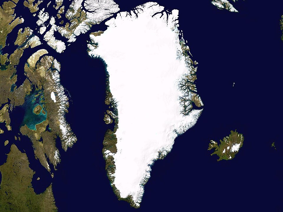
English: Satellite photo highlighting the island of Greenland, as well as Iceland and the Canadian Arctic Archipelago. |
| Sanasi | May 17, 2005 |
| Manba | worldwind.arc.nasa.gov |
| Muallif | NASA / Ames Research Center |
| Camera location |  | View this and other nearby images on: OpenStreetMap |  |
|---|

 |
This image is in the public domain because it is a screenshot from NASA’s globe software World Wind using a public domain layer, such as Blue Marble, MODIS, Landsat, SRTM, USGS or GLOBE.
|
 |
Fayl tarixi
Faylning biror paytdagi holatini koʻrish uchun tegishli sana/vaqtga bosingiz.
| Sana/Vaqt | Miniatura | Oʻlchamlari | Foydalanuvchi | Izoh | |
|---|---|---|---|---|---|
| joriy | 14:42, 2005-yil 17-may | | 1 280 × 958 (148 KB) | wikimediacommons>Rex | Greenland NASA World Wind screenshot. {{PD-USGov-NASA}} Category:Greenland Category:Islands |
Fayllarga ishoratlar
Bu faylga quyidagi sahifa bogʻlangan:
