
Fayl:Dschunqali district map overview.svg

Size of this PNG preview of this SVG file: 424 × 600 piksel. Boshqa oʻlchamlari: 1 448 × 2 048 piksel.
Asl fayl (SVG fayl, asl oʻlchamlari 744 × 1 052 piksel, fayl hajmi: 82 KB)
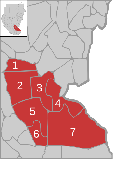
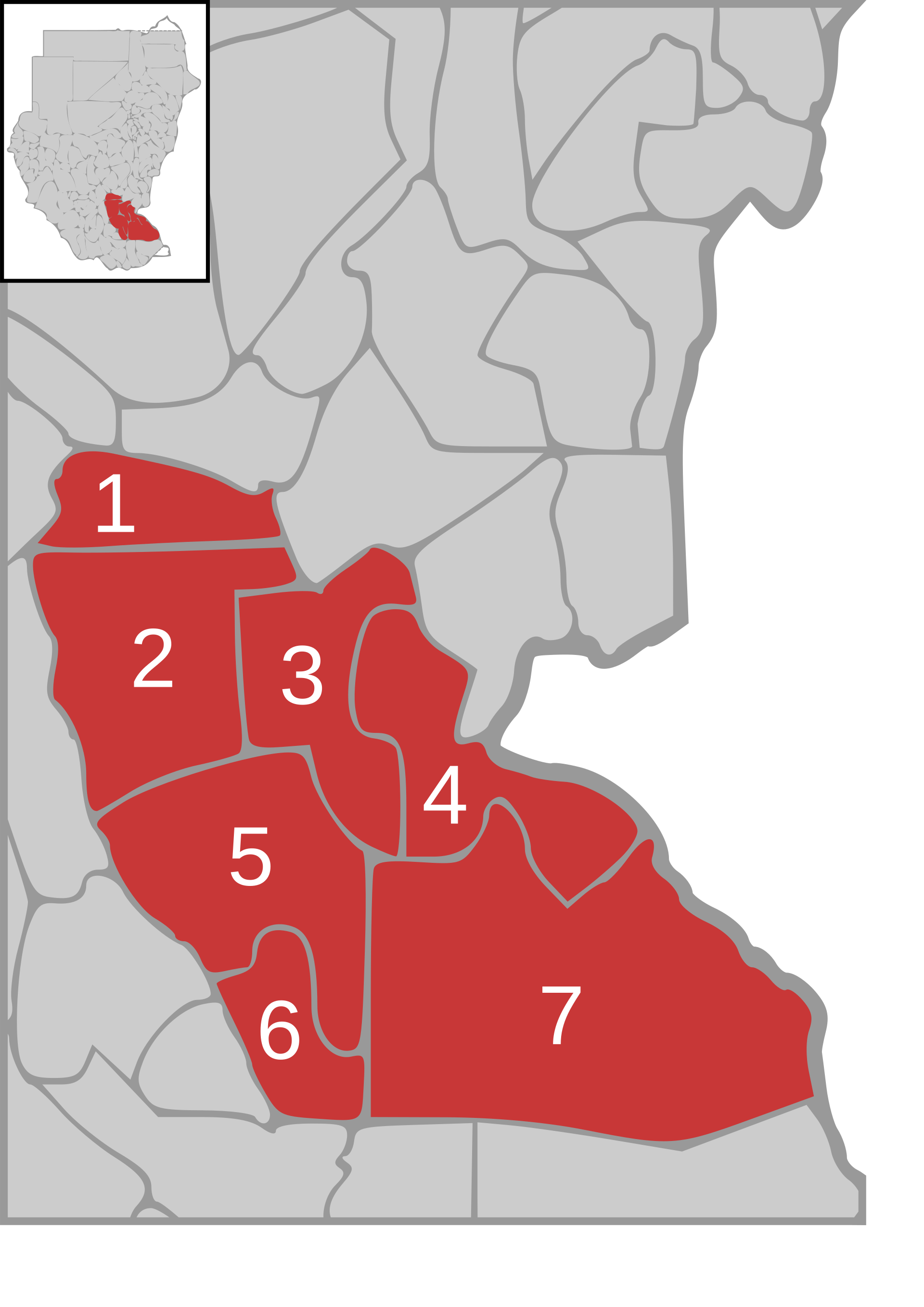
| Taʼrif | Map of Jungali state in Sudan with district overview | ||
| Sanasi | |||
| Manba | own work, based on Image:Sudan district map.svg | ||
| Muallif | de:user:Sven-steffen arndt | ||
| Ruxsat (Bu faylning takror foydalanilishi) |
|



Fayl tarixi
Faylning biror paytdagi holatini koʻrish uchun tegishli sana/vaqtga bosingiz.
| Sana/Vaqt | Miniatura | Oʻlchamlari | Foydalanuvchi | Izoh | |
|---|---|---|---|---|---|
| joriy | 01:01, 2006-yil 20-oktyabr | | 744 × 1 052 (82 KB) | wikimediacommons>Sven-steffen arndt | {{Information |Description=Map of Jungali state in Sudan with district overview |Source=own work, based on Image:Sudan district map.svg |Date=19. Oktober 2006 |Author=de:user:Sven-steffen arndt |Permission={{PD-self}} |other_versions= }} [[Cate |

Fayllarga ishoratlar
Bu faylga quyidagi sahifa bogʻlangan:
