
Fayl:Countries by population density.svg

Size of this PNG preview of this SVG file: 800 × 353 piksel. Boshqa oʻlchamlari: 2 560 × 1 129 piksel.
Asl fayl (SVG fayl, asl oʻlchamlari 6 000 × 2 647 piksel, fayl hajmi: 1,62 MB)


Qisqa izoh
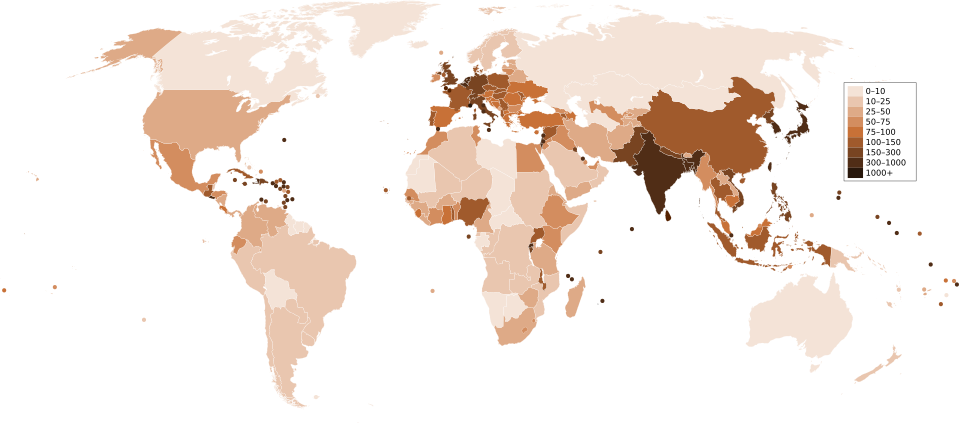
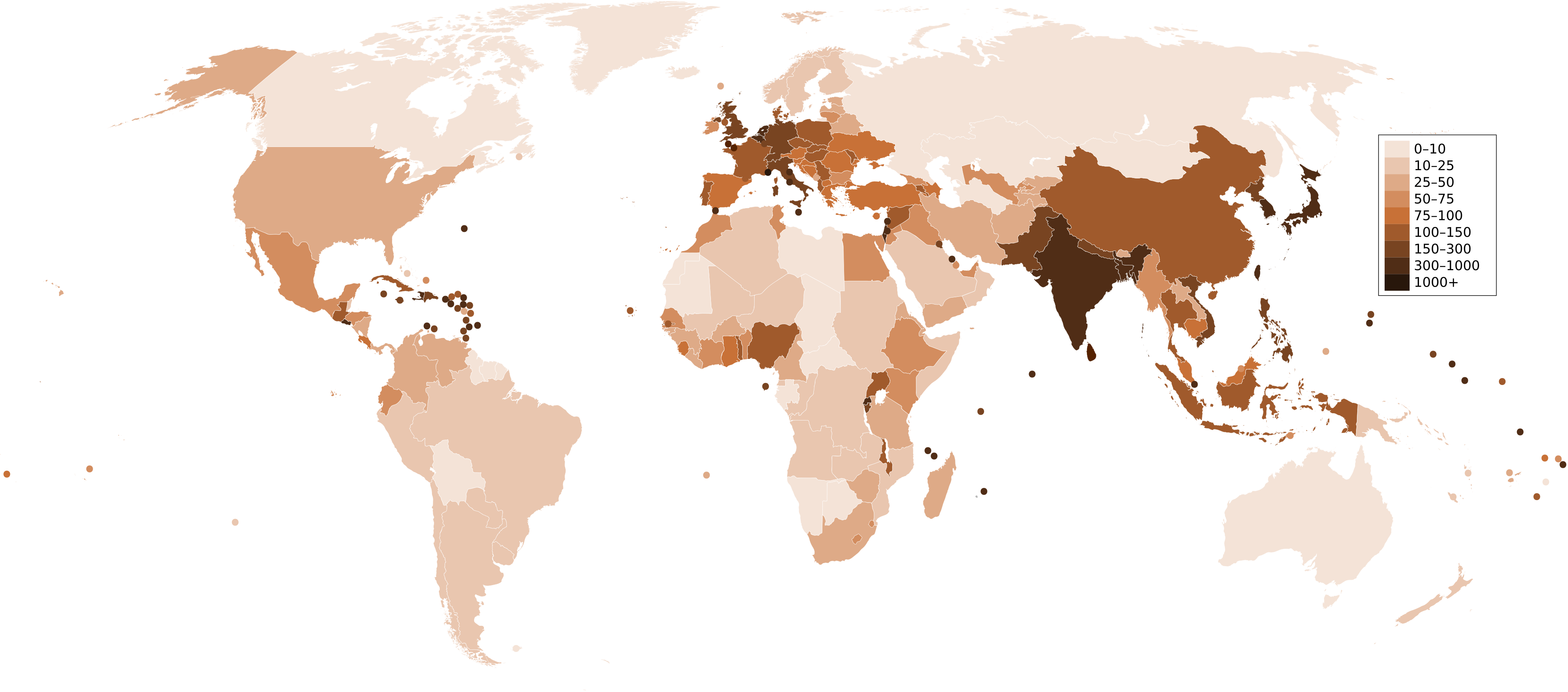
| Taʼrif | A map of the world, with colours to highlight the population density of each country or territory. Numbers on the legend are in people per km2, and all countries smaller than 20,000 km2 are represented by a dot. The information was taken from en:Countries by population density.It is intended as a vector replacement for Image:World population density map.PNG. It is derived from Image:BlankMap-World6.svg, so thanks to everyone who has contributed to that. If you have any comments, suggestions, corrections, or requests for other maps, please contact me at my English Wikipedia talk page. |
| Sanasi | |
| Manba | Oʻzimning ishim |
| Muallif | Miguel Contreras, Guatemala |


Litsenziyalash

|
I, the copyright holder of this work, release this work into the public domain. This applies worldwide. In some countries this may not be legally possible; if so: I grant anyone the right to use this work for any purpose, without any conditions, unless such conditions are required by law. |
Fayl tarixi
Faylning biror paytdagi holatini koʻrish uchun tegishli sana/vaqtga bosingiz.
| Sana/Vaqt | Miniatura | Oʻlchamlari | Foydalanuvchi | Izoh | |
|---|---|---|---|---|---|
| joriy | 04:33, 2011-yil 22-dekabr | | 6 000 × 2 647 (1,62 MB) | wikimediacommons>Quibik | added transparency |
Fayllarga ishoratlar
Bu faylga quyidagi sahifa bogʻlangan:
