
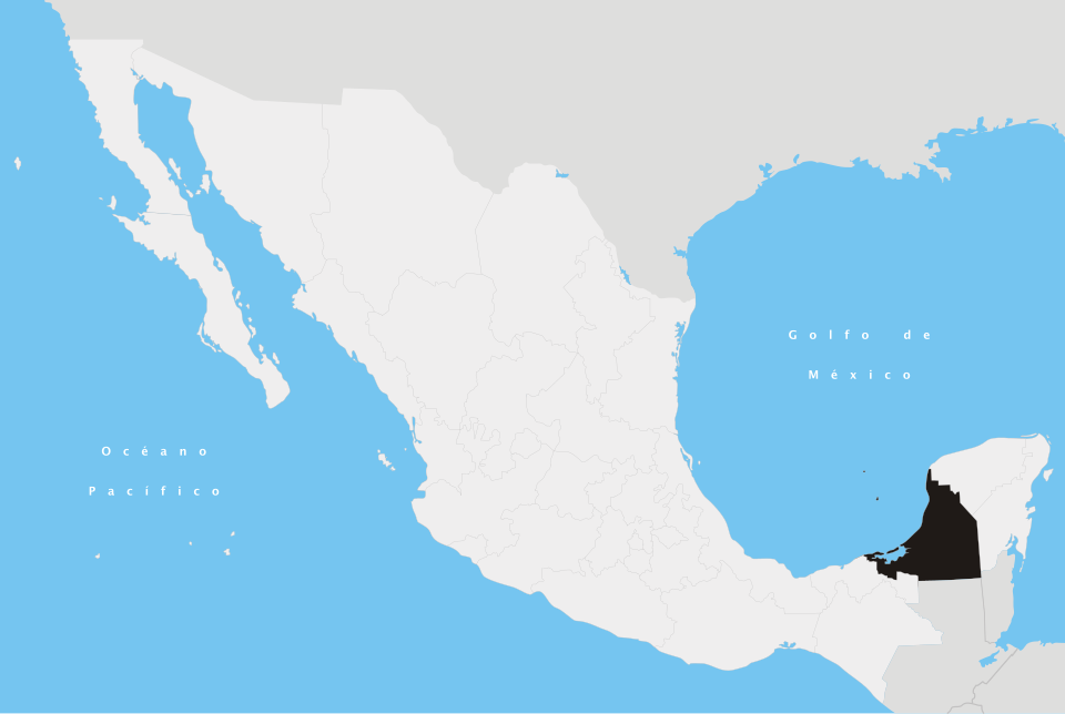
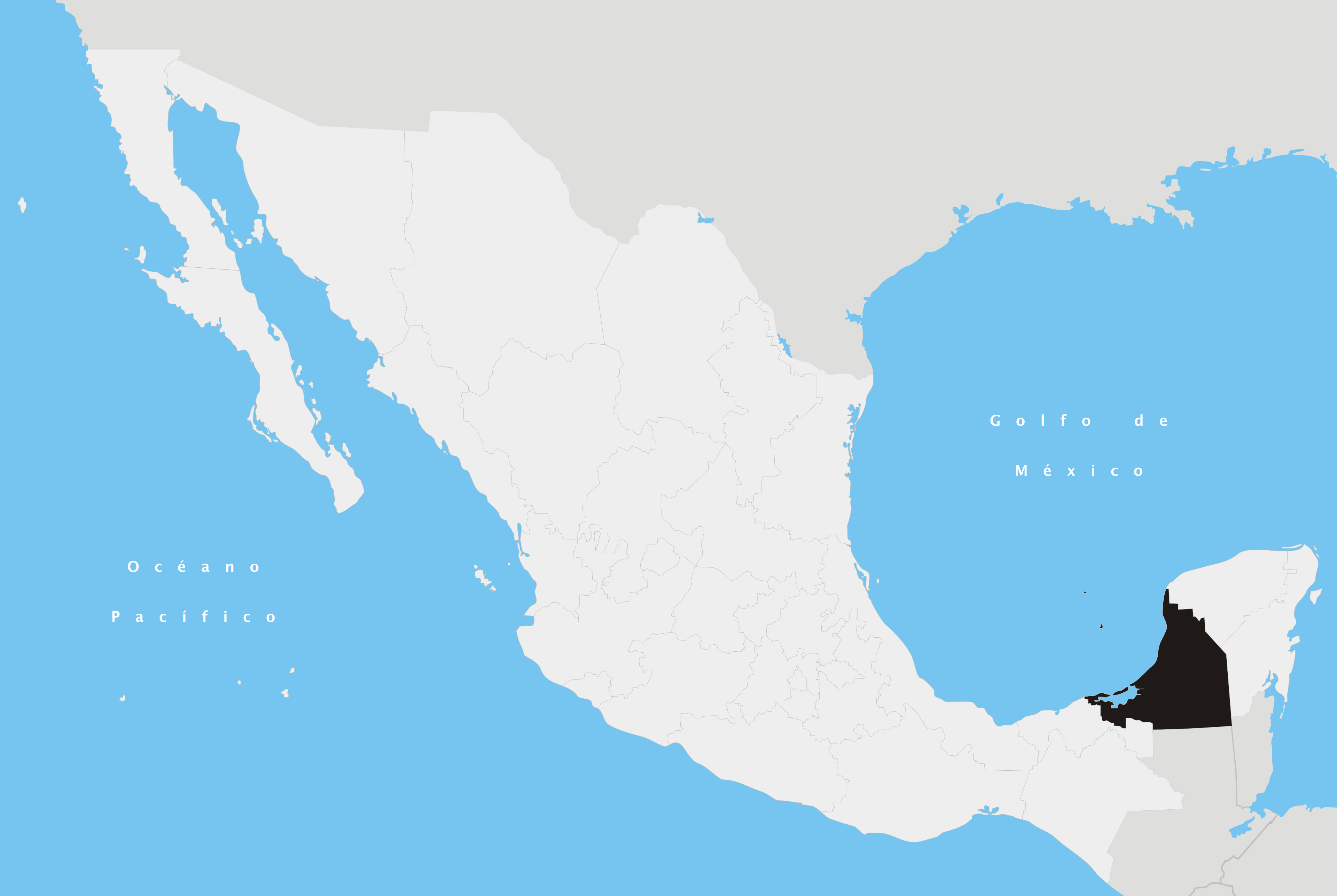
Fayl:Campeche en México.svg

Size of this PNG preview of this SVG file: 800 × 536 piksel. Boshqa oʻlchamlari: 2 560 × 1 716 piksel.
Asl fayl (SVG fayl, asl oʻlchamlari 974 × 653 piksel, fayl hajmi: 218 KB)
Qisqa izoh
| Taʼrif | |||
| Sanasi | |||
| Manba | Oʻzimning ishim | ||
| Muallif | Yavidaxiu | ||
| Ruxsat (Bu faylning takror foydalanilishi) |
|


en:Campeche es:Campeche nah:Campeche
Fayl tarixi
Faylning biror paytdagi holatini koʻrish uchun tegishli sana/vaqtga bosingiz.
| Sana/Vaqt | Miniatura | Oʻlchamlari | Foydalanuvchi | Izoh | |
|---|---|---|---|---|---|
| joriy | 05:58, 2007-yil 21-aprel | | 974 × 653 (218 KB) | wikimediacommons>Yavidaxiu | {{Information |Description={{es|Ubicación del estado de Campeche en la República Mexicana}} |Source= Trabajo propio |Date= 20 de abril de 2007 |Author= Yavidaxiu |Permission= {{PD-self}} |other_versions= }} Category:Maps of Campeche [[Category:Maps |
Fayllarga ishoratlar
Bu faylga quyidagi sahifa bogʻlangan:
