
Fayl:Atlas (Gebirge).png

Bu prevyuning hajmi: 800 × 497 piksel. Boshqa oʻlchamlari: 3 261 × 2 025 piksel.
Asl fayl (3 261 × 2 025 piksel, fayl hajmi: 11,8 MB, MIME tipi: image/png)

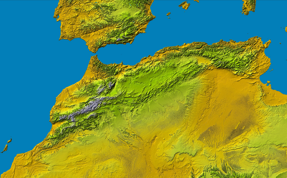
Atlas (Gebirge) a Part of: PIA04965: SRTM Data Release for Africa, Colored Height
Source: http://photojournal.jpl.nasa.gov/catalog/PIA04965

|
This file is in the public domain in the United States because it was solely created by NASA. NASA copyright policy states that "NASA material is not protected by copyright unless noted". (See Template:PD-USGov, NASA copyright policy page or JPL Image Use Policy.) |  |
 |
Warnings:
|

|
This image uses high-resolution digital topography data from NASA's Shuttle Radar Topography Mission (SRTM) at JPL-Caltech [4]. It is in the public domain in the United States.
|
 |
Fayl tarixi
Faylning biror paytdagi holatini koʻrish uchun tegishli sana/vaqtga bosingiz.
| Sana/Vaqt | Miniatura | Oʻlchamlari | Foydalanuvchi | Izoh | |
|---|---|---|---|---|---|
| joriy | 21:16, 2005-yil 16-may | | 3 261 × 2 025 (11,8 MB) | wikimediacommons>Atamari | Atlas (Gebirge) a Part of: PIA04965: SRTM Data Release for Africa, Colored Height Source: http://photojournal.jpl.nasa.gov/catalog/PIA04965 {{GFDL}}{{SpaceShuttle}} Category:Morocco\ |
Fayllarga ishoratlar
Bu faylga quyidagi sahifa bogʻlangan:
